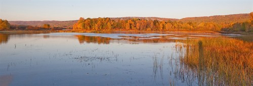
St. Louis River Estuary National Water Trail

Project Overview:
The City of Duluth and its partners are working with local and regional stakeholders to implement the St. Louis River Estuary Water Trail Plan. After the completion and approval of the Plan by City Council in March 2017, the Water Trail Plan was submitted to the National Park Service. The Advisory Council who led the planning process, shifted into a working group to implement the recommendations made in the Plan. An application to designate the St. Louis River Estuary Water Trail as a part of the larger National Water Trail System was submitted to the National Parks Service Rivers, Trails & Conservation Assistance Program in April 2017.
In June 2017, the St. Louis River Alliance became the permanent host for the multi-disciplinary Water Trail Initiative and has secured funds to build their organizational capacity to carry on this work, as well as begin the branding and associated marketing around the newly defined Water Trail.
In 2020, the U.S. Secretary of the Interior designated the St. Louis River Estuary National Water Trail, and it is now included in the National Parks Trail System.
National Water Trail designation allows surrounding communities to engage both local citizens and visitors to once again return to this amazing resource and learn about its past, present, and future. This designation also assists local land management authorities and agencies to plan, and apply for possible funding streams to improve water sport access of all kinds on the river as well as plan and implement restoration efforts. Through careful planning and vision, the Water Trail can ensure access to all regardless of skill level or ability, or financial means.
To learn more about National Water Trail, click on the available materials below.
Important Documents:
- FINAL Water Trail Master Plan - (Approved by City Council March, 27 2017)
- St. Louis River Alliance National Water Trail resources
- Online PDF of the St. Louis River Estuary National Water Trail map


