Land Use Zoning and Applications
- Zoning Regulations (UDC) The Unified Development Chapter (UDC) is the official body of rules and regulations to guide land use and development in the city of Duluth.
- Additional information about Wetlands & Floodplains.
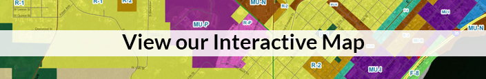
- Official Zoning Maps The official zoning maps for the city are in electronic format, and can be viewed in Community Planning’s interactive online map.
-
Applications and Checklists Some types of uses or development require administrative approval, or approval from the Planning Commission or City Council.
-
Environmental Reviews. Minnesota statutes require environmental reviews for certain types of developments.
- Historic Preservation. Duluth properties can be listed on either local or national registries. Historic reports such as inventories can also be found here.
Other Online Information
The St. Louis County Land Explorer is an interactive map of all of St. Louis County, including the city of Duluth. It shows zoning, tax valuation, parcel records, and other information.
Minnesota Historical Aerial Photography, courtesy University of Minnesota.
City of Duluth online mapping portal, links to maps related to parks and trails, snow plow priority, obstructed roads, public parking locations, etc.
Duluth Neighborhoods Map (pdf)
- Duluth Neighborhoods Map (interactive)