City Subscriptions
View Press Release
218-730-4309 • www.duluthmn.gov
Public Information Officer at 218-730-5309
SUBJECT: 2015 Outdoor Duluth Recreation Map Now Available to the Public
BY: Pakou Ly, Public Information Coordinator
2015 Outdoor Duluth Recreation Map Now Available to the Public
[Duluth, MN ] - The City of Duluth Parks and Recreation 2015 Outdoor Duluth Recreation Map is now available to the public! The University of Minnesota's Geospatial Analysis Center partnered with the City of Duluth to create a map of Duluth’s recreational amenities across the city. The map highlights locations of picnic areas, playgrounds, community recreation centers, and hiking/skiing trails. No matter if you are on foot or wheels, there are opportunities waiting for anyone to enjoy the best of Duluth's outdoor beauty. Four-legged friends are not excluded from the fun with two off leash dog parks. The colorful map is available free of charge at various locations across the city.
Maps are available at the following locations as well as the Visit Duluth offices in downtown Duluth. You may also stop by Parks and Recreation on the ground floor of Duluth City Hall, Monday - Fridays, 8-4 pm to pick up a copy.
Thompson Hill Visitor Center
Ski Hut East & West
Continental Ski and Bike
Austin Jarrow
Duluth Running Company
Trail Fitters
Hartley Nature Center
St. Louis River Alliance (in DeWitt Seitz building)
Chester Bowl Improvement Club
Hawk Ridge (in Alakef Coffee Bldg)
Great Lakes Aquarium
Northwest Outlet
Duluth Pack
Twin Ports Cyclery
Lake Superior Zoo
Indian Point Campground
Spirit Mountain
Munger Inn
Spirit Lake Marina
Marine Museum in Canal Park
# # #
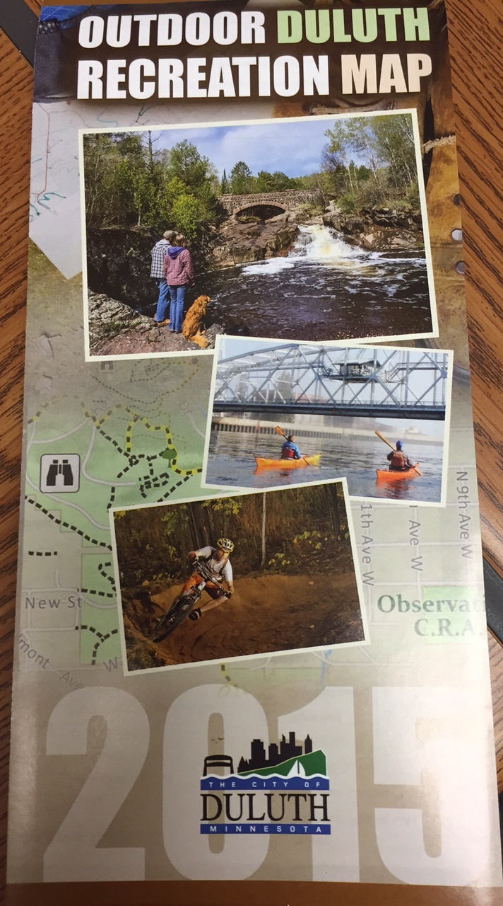
2015 Outdoor Duluth Recreation Map